
08 March, 2026
Following the devastating magnitude 7.8 and 7.6 Kahramanmaraş earthquakes in south-central Turkey and northwestern Syria in 2023, KAUST researchers and an international team have conducted a pioneering study into post-seismic deformation across the region. The work was enabled by exceptionally comprehensive satellite radar datasets. Their results underscore the importance of considering both temporal and 3D spatial data in exploring lithospheric recovery.
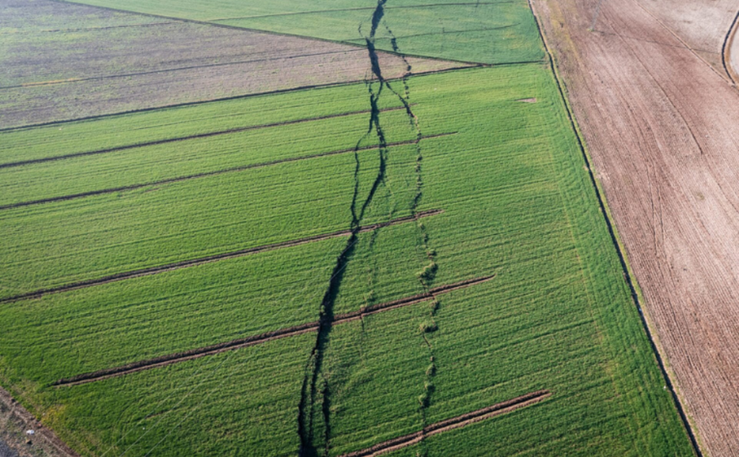
In the aftermath of major earthquakes, the Earth’s crust and uppermost mantle (the lithosphere) continue to deform and shift at plate boundaries, taking time to recover. Monitoring post-seismic surface deformation can help scientists understand which associated subsurface recovery processes occur after earthquakes, and offer insights into possible future tectonic movements.
“Unlike most large earthquakes that occur under the ocean, this massive and shallow earthquake doublet occurred on a continental plate boundary,” says Jihong Liu, research scientist who worked on the study under the supervision of Sigurjón Jónsson. “Having land surface on both sides of the fault allowed us to make detailed deformation observations using interferometric synthetic aperture radar (InSAR) images.”
“The tragedy is that while these types of earthquakes are incredibly useful for scientists, they are generally also the deadliest, causing widespread destruction and loss of life,” says Jónsson. The Kahramanmaraş earthquakes killed more than 50,000 people along the plate boundary (the East Anatolian Fault) between the Arabian Plate and the Anatolian Plate.
Scientists have long tried to ascertain different potential recovery processes in the lithosphere after large earthquakes, but their visible effects are similar, making it difficult to distinguish between the deformation processes at play. Using detailed InSAR images of the region, the team mapped the full spatial pattern and evolution of surface deformation in the first two years after the earthquakes. They then modeled the most likely processes that would result in these deformation patterns. The underlying plate geology helped narrow down the model, as Liu explains:
“Broadly speaking, the Arabian Plate is stiffer and more uniform, with relatively little internal seismic activity. In contrast, the softer Anatolian Plate contains a complex and fragmented fault network and is actively deforming.”
Read more at KAUST Discovery.